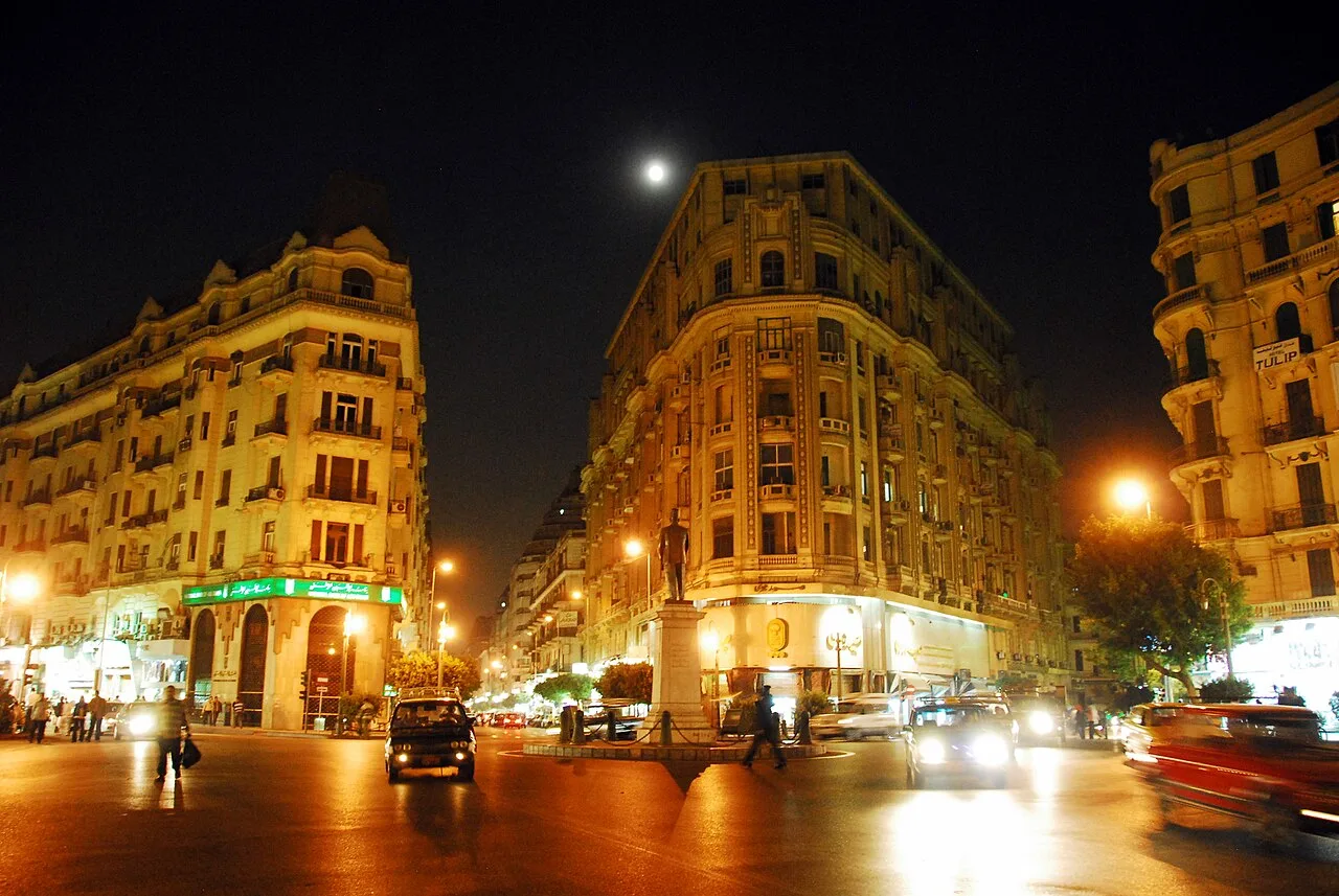
Maadi
Virtual asset linked to this landmark

- Virtual owner
- The platform
- Times sold
- 0
- Fame on Wikipedia
- 25,067 article reads in 12 months
- Searches (30 days)
- 0
- Watching
- 0
Virtual ownership only. It gives no legal, financial or physical right in the real landmark. Prices are set by the market and may fall.
About Maadi and its history
A residential district in southern Cairo on the east bank of the Nile, known for its tree-lined streets.
Maadi (Egyptian Arabic: المعادى el-Maʿādi [elmæˈʕæːdi]) is a leafy and once suburban district in the Southern Area of Cairo, Egypt, on the east bank of the Nile about 12 kilometers (7.5 mi) upriver from downtown Cairo. The modern extensions north-east and east of Maadi, New Maadi and Zahraa al-Maadi are administratively part of the Basatin district. The area has a history that streches back 6000 years.
The Nile in Maadi is paralleled by the Corniche, a waterfront promenade and the main road north into Cairo. There is no bridge across the Nile at Maadi; the nearest one is located at El Mounib along the Ring Road (Tarik El-Da'eri, English: The Round Road) on the way north to the downtown.
Maadi's population was estimated to be 85,000 according to the 2017 census. The district is popular with expatriates as well as Egyptians and is home to many embassies, as well as major international schools, sporting clubs, and cultural institutions such as the Supreme Constitutional Court of Egypt and the national Egyptian Geological Museum.
Name
Maadi is the plural form of the word meʿaddeyya (معدية [meʕædˈdej.jæ]), which means "ferry"; hence, el-Maadi literally means "The ferries". The story goes that the name comes from a ferry crossing in the area where ferries carried people from the east side of the Nile to the west.
History
Main page:See Buto-Maadi Culture
Maadi today stands on the site of a town that has turned out to be a significant predynastic, Ancient Egyptian archaeological site that includes artifacts from the Maadi-Buto culture, founded ca. 4000 B.C. The Culture was contemporary with Sumer, and represents Lower Egypt's earliest proto-state before being absorbed by the Naqada Culture before Egypt's Unification.
Building activity in the area has destroyed some archaeologically sensitive places.
The suburb holds deep Christian significance as one of the stops of the Holy Family's flight into Egypt, who embarked for Upper Egypt there. A church has been built on the site.
In Middle Ages the area of Maadi became a Coptic monastic region comprising Deir at-Tin (Arabic: دير الطين, Coptic: ⲡⲓⲙⲟⲛⲁⲥⲧⲉⲣⲓⲟⲛ ⲙ̀ⲡⲓⲟⲙⲓ, lit. 'monastery of mud') and Deir al-Adawiya (Arabic: دير العدوية, Coptic: ϯⲕⲁⲗⲁⲃⲏ).
Maadi traces its modern history to 1904, when the railway between Cairo to the north and Helwan to the south was built. This, in combination with land speculation by the Mosseri cousins and city planning by Alexander Adams, gave rise to a new town. Construction was originally limited to the area adjacent to the railway, but eventually spread west to the Nile. Also, a large British army camp was built east of the railway.
The town planning was done in 1905 by a Canadian retired officer, Captain Alexander J. Adams. His vision led to the wide streets and large villas still seen in Maadi today.
Information source: Wikipedia · rewritten and edited by Maalem; available under CC BY-SA 4.0
- Location
- Cairo, Egypt
- Coordinates
- 29.9602, 31.2569
- Category
- Districts, Streets & Markets
Source: Wikipedia · Factual information about the real landmark; unrelated to virtual ownership.
Price & ownership history
Landmarks near Maadi
Map → Available
 Available
📖 53 K reads
Available
📖 53 K reads
 Available
📖 38 K reads
Available
📖 38 K reads
 Available
📖 11 K reads
Available
📖 11 K reads