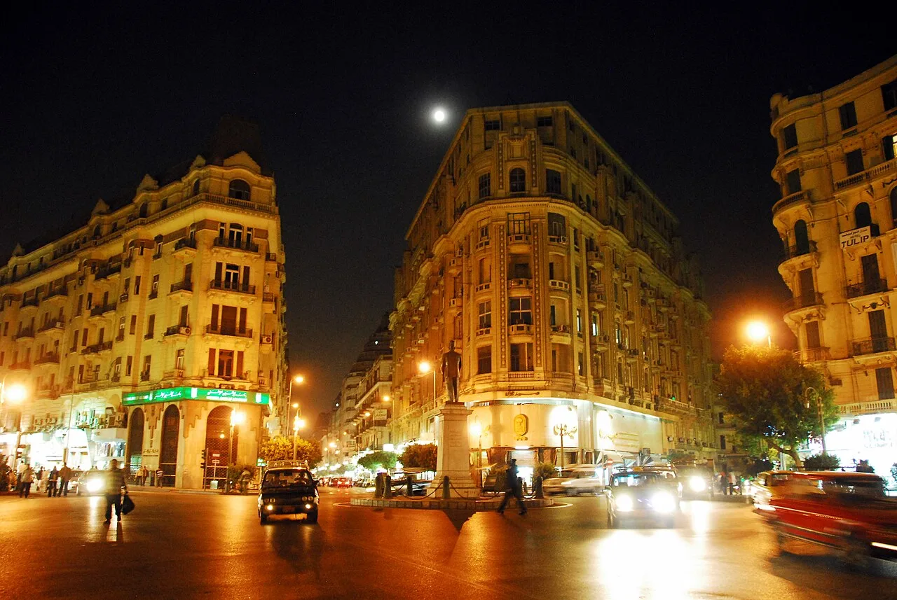
Shubra
Virtual asset linked to this landmark

- Virtual owner
- The platform
- Times sold
- 0
- Fame on Wikipedia
- 7,034 article reads in 12 months
- Searches (30 days)
- 0
- Watching
- 0
Virtual ownership only. It gives no legal, financial or physical right in the real landmark. Prices are set by the market and may fall.
About Shubra and its history
A large, densely populated district in northern Cairo.
Shubra (Arabic: شبرا, IPA: [ˈʃobɾɑ]; also written Shoubra or Shobra) is a district of Cairo, Egypt and it is one of eight districts that make up the Northern Area. Administratively it used to cover the entire area of the three districts of Shubra, Rod El Farag, and El Sahel, until it was broken up in 1988. Therefore, many places associated with the original, larger Shubra are known as belonging to it, even though administratively they lie in one of the other two districts.
The larger Shubra is historically related to the city of Shubra El Kheima, although in the Qalyubiyya Governorate immediately to the north of Shubra, and contiguous to it.
Etymology
Although Shubra is a large city district, the name originally derives from the Coptic word ϭⲱⲡⲣⲟ Šopro, which means a small village, kom (hill), or hamlet, as the area was well known for its rich fields that neighbour the Nile River before it became a part of Cairo. Shubra is a common prefix for many places in Egypt, most of which originated as villages but may today be towns or even cities. For example, the villages of Shubra Bekhoum, Quesna, Menoufia, and Shubra Beloula, Qutour, Gharbia, or Qalyubia's industrial city, Shubra El Kheima.
History
Muhammad Ali chose the fields around the then village of Shubra El-Kheima for the location of a rural retreat where he built himself a palace in the area overlooking the Nile and extended Shubra Street in 1808 from Bab al-Hadid in Cairo, to there. A 'Fountain Pavilion' (kushk al-fasqia), nicknamed by French historians as the Nymphaeum, would be added to the palace gardens by 1821. Over the coming decades Mohamed Ali's heirs would turn the area into a garden suburb lining Shubra Street with their palaces.
During the 20th Century, Shubra developed from cultivated fields and palatial gardens into a residential area. The area around the Shubra El-Kheima village north of the intake of the Ismailia Canal, would become the city of Shubra El-Kheima in the Qalubia governorate. While the area south of the canal and north of Bulaq called Dawahi Masr (Cairo's Suburbs) would become the larger Shubra district of Cairo. Shubra lost its upper-class status slowly after the tramway was built in 1902 connecting it to the rest of Cairo, turning into a cosmopolitan working-class and merchant middle-class neighbourhood with numerous cinemas and theatres.
The tram was removed in the 1990s as Cairo Metro Line 2 was being dug, and today the only remaining palatial buildings are the Fountain Pavilion in Shubra El-Kheima, erroneously named Mohamed Ali's Palace, and prince Omar Tousson's palace that was converted into a public school in the 1950s, then later abandoned and is now in the Rod al-Farag district.
The Sard Shubra Archive was established in 2021 to preserve histories of Shubra through ephemeral materials including tram tickets, images of historic churches and concert halls, film posters, and legal documents.
Information source: Wikipedia · rewritten and edited by Maalem; available under CC BY-SA 4.0
- Location
- Cairo, Egypt
- Coordinates
- 30.0850, 31.2450
- Category
- Districts, Streets & Markets
Source: Wikipedia · Factual information about the real landmark; unrelated to virtual ownership.
Price & ownership history
Landmarks near Shubra
Map → Available
📖 1 K reads
Available
📖 1 K reads
 Available
📖 7 K reads
Available
📖 7 K reads
 Available
📖 84 K reads
Available
📖 84 K reads
 Available
📖 8 K reads
Available
📖 8 K reads