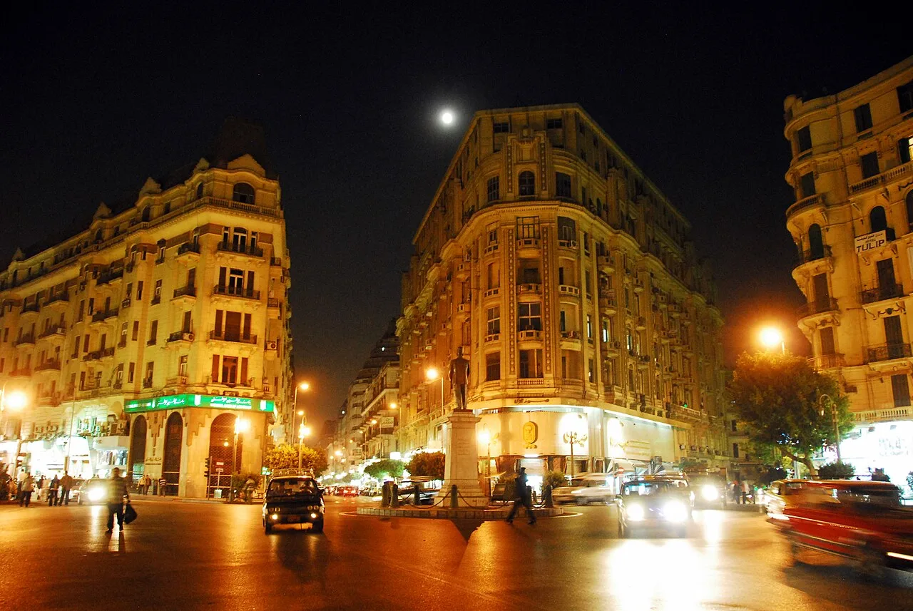
Alexandria Corniche
Virtual asset linked to this landmark

- Virtual owner
- The platform
- Times sold
- 0
- Fame on Wikipedia
- 1,392 article reads in 12 months
- Searches (30 days)
- 0
- Watching
- 0
Virtual ownership only. It gives no legal, financial or physical right in the real landmark. Prices are set by the market and may fall.
About Alexandria Corniche and its history
A waterfront road and promenade running along the Mediterranean in Alexandria.
The Corniche (Arabic: الكورنيش, El Kornesh) is a waterfront promenade corniche in Alexandria, Egypt, running along the Eastern Harbour. It is one of the major corridors for traffic in Alexandria, alongside Abu Qir Street, the Ring Road, and the Mahmoudia Axis. The Corniche is formally designated "26 of July Road" west of Mansheya and "El Geish Road" east of it; however, these names are rarely used.
Italian-Egyptian architect Pietro Avoscani designed it in 1870. Construction of the Alexandria Corniche began during the period of Ismail Sedki Pasha's ministry during the reign of King Fuad I in 1925, and it was officially opened in 1935.
The road extends from the Bahri area in the Customs district in the west by the Citadel of Qaitbay (built in place of the Lighthouse of Alexandria). It runs for over ten miles and ends at the Mandara area in the Montaza district in the east.
History
The construction of the Alexandria Corniche began in 1925 and took approximately ten years in six phases. The first phase was built in the area between Silsila and Shatby, a distance of 786 meters. The second phase extended from Shatby to Camp Caesar. The third phase extended from Camp Caesar to Sporting. The fourth phase extended from Sporting to Cleopatra.
The fifth phase extended from Cleopatra to Stanley, passing through the Mustafa Pasha area, where the British occupation army camps were located at the time. This obstructed the Corniche's construction during this phase. The final phase extended from Stanley to the western walls of Montazah Palace, currently located in the Mandara district. The Corniche was completed in 1934.
In 2001, the Corniche Road underwent the largest and most extensive modification in its history. Nine beaches were completely destroyed to widen the road, increasing its width from 8 meters to 20 meters or more. The road began to enter the sea sand. This time saw the construction of the Stanley Bridge, and road widening work was completed between Victoria and Shatby.
During the beginning of the 2020s the widening of the east part of the Corniche Road from 3 to 5 car lanes per direction carried on happening, having as a consequence the considerably shrink of adjacent beaches, and the necessity to reconstruct existing leisure and walking infrastructure.
Information source: Wikipedia · rewritten and edited by Maalem; available under CC BY-SA 4.0
- Location
- Alexandria, Egypt
- Coordinates
- 31.2100, 29.9100
- Category
- Districts, Streets & Markets
Source: Wikipedia · Factual information about the real landmark; unrelated to virtual ownership.
Price & ownership history
Landmarks near Alexandria Corniche
Map → Available
📖 69 K reads
Available
📖 69 K reads
 Available
📖 5 K reads
Available
📖 5 K reads
 Available
 Available
📖 5 K reads
Available
📖 5 K reads