Harrat Lunayyir
Virtual asset linked to this landmark

- Virtual owner
- The platform
- Times sold
- 0
- Fame on Wikipedia
- 1,221 article reads in 12 months
- Searches (30 days)
- 0
- Watching
- 0
Virtual ownership only. It gives no legal, financial or physical right in the real landmark. Prices are set by the market and may fall.
About Harrat Lunayyir and its history
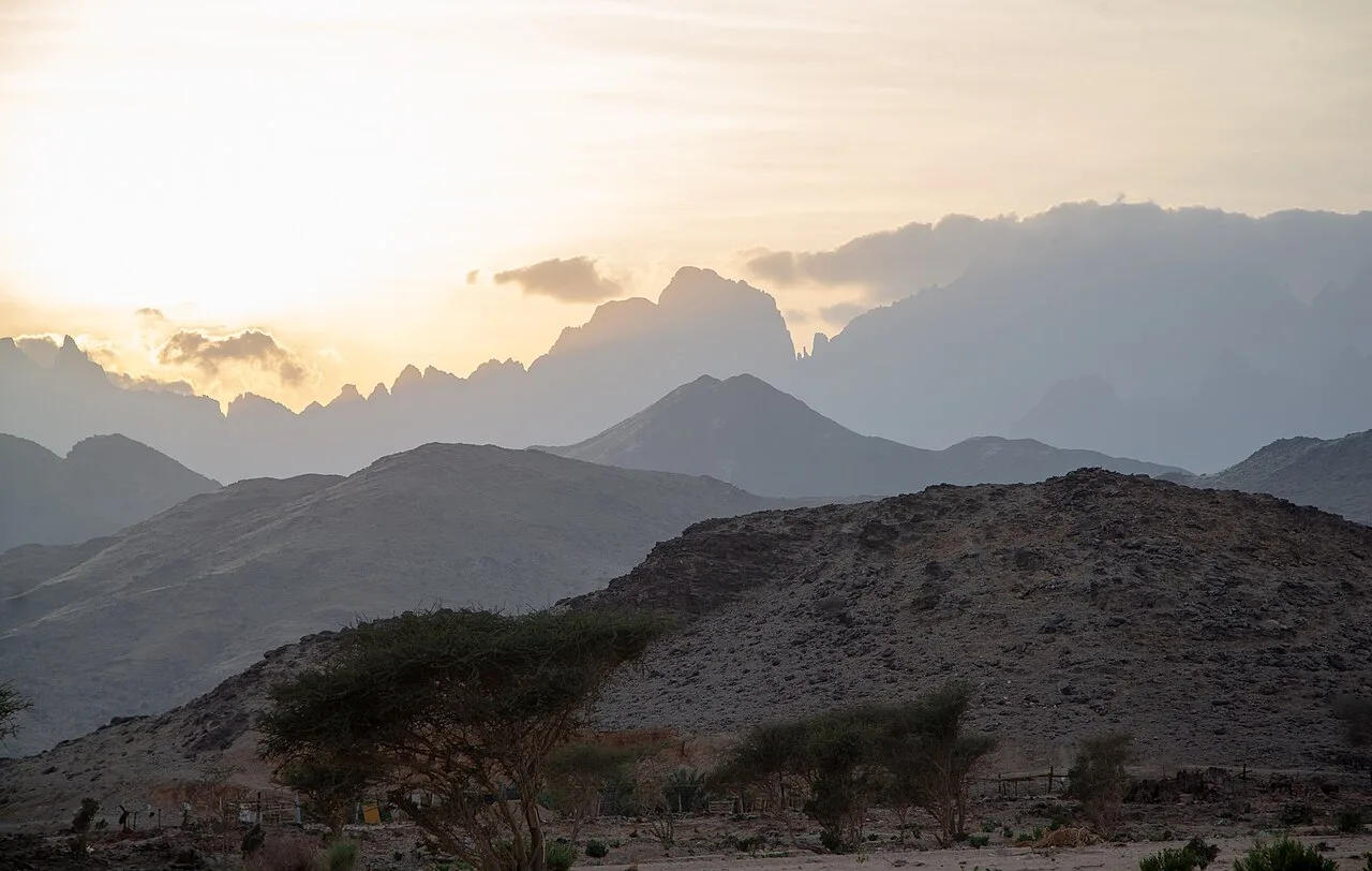
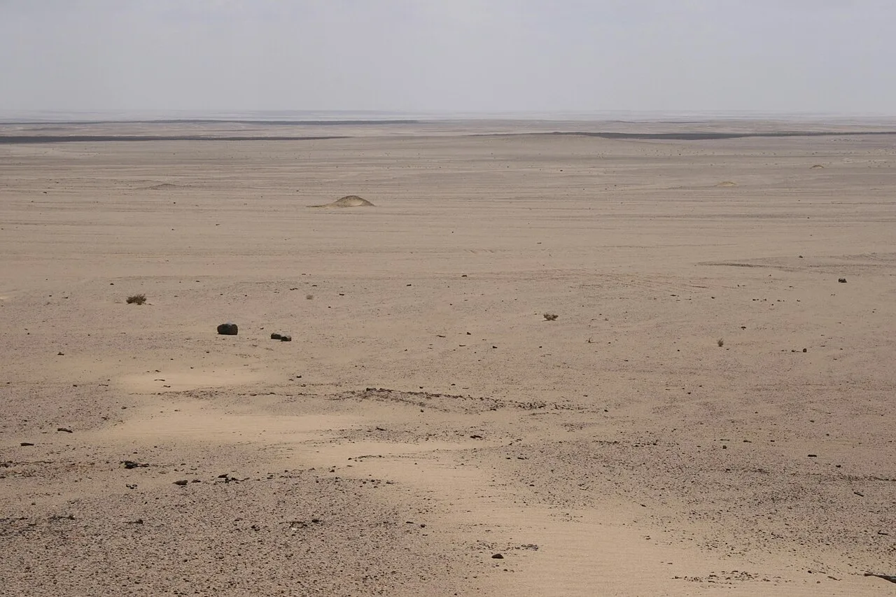
A volcanic field east of Umluj with dozens of cinder cones, where an earthquake swarm in 2009 led to the evacuation of residents.
حرة لونير أو الشاقة عبارة عن حقل بركاني يقع في محافظة العيص الواقعة بمنطقة المدينة المنورة شمال غرب السعودية. وفي عام 2009 كانت هنالك مجموعة من الزلازل الصغيرة حدثت في المنطقة، حيث تم إجلاء 2289 شخص من المنطقة. كما نتجت عن الزلازل تشققات واضحة على سطح الأرض، وقد تعتبر المنطقة الآن نشطة بركانياً.
التسمية
كانت الحرة قديماً تسمى «لواء الرين»، وبقصد بـ «اللواء» المكان المتعرج أو الملتوي لدى أهل المنطقة، و«الرين» اسم نبات معروف في نفس الحرة. كما تسمى أيضاً بـ «حرة الشاقة» نسبة إلى إحدى الهجر المجاورة لها.
Information source: Wikipedia · rewritten and edited by Maalem; available under CC BY-SA 4.0
- Location
- Umluj, Saudi Arabia
- Coordinates
- 25.1700, 37.7500
- Category
- Nature & Parks
Source: Wikipedia · Factual information about the real landmark; unrelated to virtual ownership.