Tuwaiq Escarpment
Virtual asset linked to this landmark

- Virtual owner
- The platform
- Times sold
- 0
- Fame on Wikipedia
- 18,135 article reads in 12 months
- Searches (30 days)
- 0
- Watching
- 0
Virtual ownership only. It gives no legal, financial or physical right in the real landmark. Prices are set by the market and may fall.
About Tuwaiq Escarpment and its history
A long escarpment stretching for hundreds of kilometres across central Najd.
Jabal Tuwaiq (Arabic: جَبَل طُوَيْق, lit. 'Tuwaiq Mountain') or Tuwaiq Escarpment is a narrow escarpment that cuts through the plateau of Najd in central Arabia, running approximately 800 km (500 miles) from the southern border of Al-Qasim in the north to the northern edge of the Rub' al Khali desert near Wadi ad-Dawasir in the south. It is 600 m (2,000 ft) high and also has a Middle Jurassic stratigraphic section. The eastern side slopes downwards gradually whilst the western side ends in an abrupt manner. The escarpment can be thought of as a narrow plateau, though the locals refer to it as a jebel ("mountain"). Marshall Cavendish used the name Tuwayr Mountains to describe mountains of central Arabia, distinct from the Shammar in the north, the Dhofar in the south and the Hajar to the east.
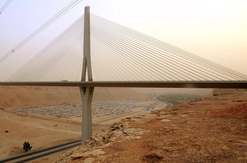
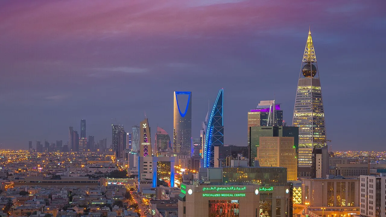
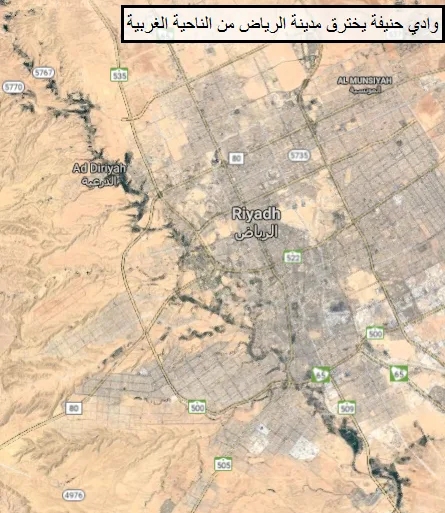
Many narrow valleys (wadis) run along its sides, such as Wadi Hanifa, and a group of towns lies on its central section, including the Saudi capital, Riyadh. Many settlements have historically existed on either side of it as well, such as those of Sudair and Al-Washm. The Tweig escarpment is mentioned in Yaqut's 13th century geographical encyclopedia under the name Al-'Aridh, though for the past few centuries that name has applied only to the central section of it, around Riyadh.
Jebel Fihrayn
Jebel Fihrayn or Edge of the World is a cliff 1,131 m high that lies some 100 km northwest of Riyadh. Formed by tectonic movements of the Arabian plate, the cliffs drop down 300 m into an ancient ocean bed. They are a popular touristic spot offering wide views of a vast desert landscape.
Petroleum geology
The Arab-D (Upper Jurassic) unit of the Riyadh Group makes up one of the largest petroleum reservoirs in the world. Bureau and Saudi Aramco researchers conducted a high-resolution LIDAR survey of Middle Jurassic outcrops of the Tuwaiq Mountain limestone along the Tuwaiq Mountain Escarpment near the city of Riyadh, Saudi Arabia. This study was a first step towards building a quantitative 3-D geologic model for use as an analog to the lower Arab-D reservoir. Outcrop analogs like this one are critical to understanding reservoir performance on the flow-unit scale (1 to 30 m (98 ft)). Although seismic data allow geologists to gain information about large-scale reservoir compartmentalization (>30 metres (98 feet)), flow-unit scale reservoir parameters are far below seismic imaging capability and inter-well spacing.
High-precision laser scans were used as a template upon which stratigraphic interpretation was made, allowing researchers to characterize sub-seismic, flow-unit scale reservoir properties of Jurassic bioherms in an effort to better understand optimum production techniques of this enormous reservoir.
Information source: Wikipedia · rewritten and edited by Maalem; available under CC BY-SA 4.0
- Location
- Riyadh Region, Saudi Arabia
- Coordinates
- 24.2000, 46.2000
- Category
- Nature & Parks
Source: Wikipedia · Factual information about the real landmark; unrelated to virtual ownership.
Price & ownership history
Landmarks near Tuwaiq Escarpment
Map →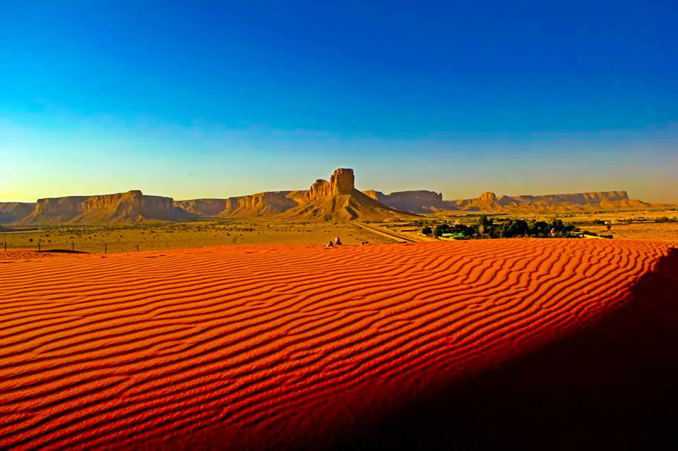 Available
 Available
 Available
 Available
📖 19 K reads
Available
📖 19 K reads